Never pick a Lady's Slipper.


 Directions: Take I-15 South to Clancy. Take the Clancy exit and go straight past the
old Legal Tender Restaurant. Follow the
road up through Lump Gulch into the National Forest. The road will fork. Take the right fork – Travis Creek Road. Look to your left for the North Fork of
Travis Creek Road and turn onto this road.
Follow the road to the bitter end.
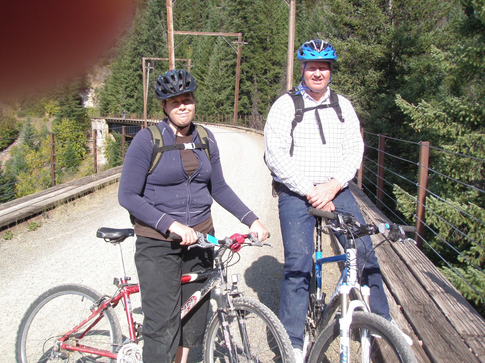
Sometimes this road is horrible, but occasionally the road is graded. This hike can be a fun bike ride too.
Directions: Take I-15 South to Clancy. Take the Clancy exit and go straight past the
old Legal Tender Restaurant. Follow the
road up through Lump Gulch into the National Forest. The road will fork. Take the right fork – Travis Creek Road. Look to your left for the North Fork of
Travis Creek Road and turn onto this road.
Follow the road to the bitter end.
Sometimes this road is horrible, but occasionally the road is graded. This hike can be a fun bike ride too.
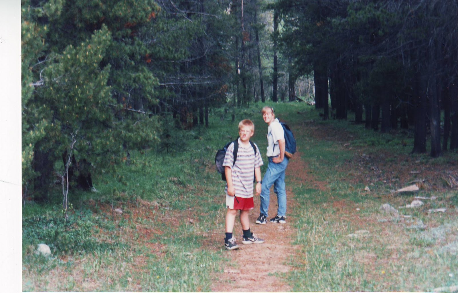
 All five
children and two adults had a wonderful time on this hike. We played in the water, ate lunch, and
explored an old house foundation. Then
with a start, I remembered one of the children had a dental appointment in an
hour. All seven of us hot footed it out
of there at a speed the High School track team could only dream about. We loaded up the van and then sweated,
hoping the car would not run out of gas on the way back to town. Amazingly enough, we made it to town with enough
time to put gas in the car and still arrive at the appointment on time. Even
more amazingly, my hiking partner put up with my disorganization and still
ventures out on hikes with me. She
probably looks at my gas gauge before we leave, though.
All five
children and two adults had a wonderful time on this hike. We played in the water, ate lunch, and
explored an old house foundation. Then
with a start, I remembered one of the children had a dental appointment in an
hour. All seven of us hot footed it out
of there at a speed the High School track team could only dream about. We loaded up the van and then sweated,
hoping the car would not run out of gas on the way back to town. Amazingly enough, we made it to town with enough
time to put gas in the car and still arrive at the appointment on time. Even
more amazingly, my hiking partner put up with my disorganization and still
ventures out on hikes with me. She
probably looks at my gas gauge before we leave, though.
 |
| Near the Top of the Brooklynn Bridge Trail |
 |
| The top of the Brooklynn Bridge Trail |
 |
| Checker Lily in the foreground, Oregon Grape in the Background |
 |
| Near the Tizers |
Hike
|
Directions
|
Trail Description
|
Notes
|
Spring Meadow Lake
|
Take Euclid avenue to the west side of town. After Linden Avenue,
watch for a Montana State Park Sign. Turn onto Joslyn. It curves and becomes Country Club
Avenue. Spring Meadow Lake is on the
Left.
|
Flat, paved trail all around the lake.
Flush toilets. Paddle boat
rentals
|
Get a license and a few fishing poles and fish! Kid under twelve don't need a license of the adult has one. Bring a bathing suit, bucket, towels and
swimming toys. A canoe is great too.
|
Casey Meadows
Tr. No. 343
|
Take I-15 South. Exit at the
Montana City Exit. Turn left to cross over the
overpass, looking for Johns Street on your right, just after Papa Ray’s
Casino. Turn onto Johns Street. Soon, it becomes McClellan Creek Road. Follow McClellan Creek Road for several
miles into the Helena National Forest.
Keep following it. You will go
down a hill and cross a plank bridge and curve right. Keep following. Look for the Crystal Creek sign on the
right. Turn right at the sign. Follow the
road for a few more miles to the Casey Meadows Trailhead.
|
With small children, I would only hike about ¼ mile to where a log
bridge crosses the creek. We stop
there and play in the creek
The entire trail is 3 miles into Casey Meadows and 3 miles out
again. It is an old road with a slow
incline. The incline becomes steeper
and the trail narrow after you cross the second log bridge before the
meadows.
|
If you play at the first log bridge, watch out for stinging nettles
upstream between the creek and bridge.
There could be snow here until mid June
|
Willard Creek Trail Tr. 347
|
Take I-15 South and exit at the Clancy Exit. At the off ramp, turn left. Drive over the overpass and turn right and
follow the frontage road to Warm Springs Creek Road. Turn left onto Warm
Springs Creek Road (Elkhorn Care Center).
Follow Warm Springs Creek Road for several miles into the national forest. Stay on the Warm Springs Creek Road until
you come to a Forest Service Road on your right to the Willard Creek
Trailhead. Follow this road for a
couple of miles, passing the horse trailer parking, to the trailhead.
|
This trail runs down hill for about a mile to a creek. For small
children, I would end the hike at the creek.
At the creek, are picnic tables. Spencer Stratton put new picnic tables
in the area for his Eagle Scout project.
After the creek, the hike changes from an old road to a trail.
If you turn left, you will hike 2 more miles, for total of 3 miles, and come out at the Casey Meadows trailhead - the lower
trailhead. If you turn right, you end
up in the Tizers, after miles and miles.
|
There could be snow here until mid June
You can take a jogging stroller as far as the creek.
The barrier across the Willard Creek Road is closed in winter.
In late July and August the grass Sweet Timothy, which many people
are REALLY allergic to, abounds in this area.
|
South Fork Lakes
Tr. 127
|
Take Highway 12 East past Townsend.
Turn right at the Bunk House Bar.
Follow the road past Radersburg into the National forest. Either take the South Fork Road or the
Jenkins Gulch Road off the main road. Both roads are on
the left as you head South up the main road. The road ends at the South Fork Lakes
trailhead.
|
The hike is only about a mile in and a mile out. The first part is on a boardwalk through a
swampy area.
After the swampy area, you climb upwards, fairly steeply for a while. The trail leads to two pond/lakes.
|
The last part of the road to the trail is very rough, and you may
drive through a stream in spring and early summer.
The swampy area has an abundance of beautiful flowers.
Bring mosquito repellent.
|